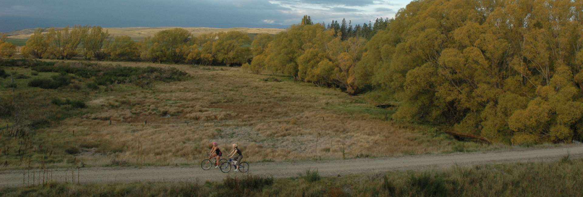
Ranfurly to Waipiata Distance: 8 km
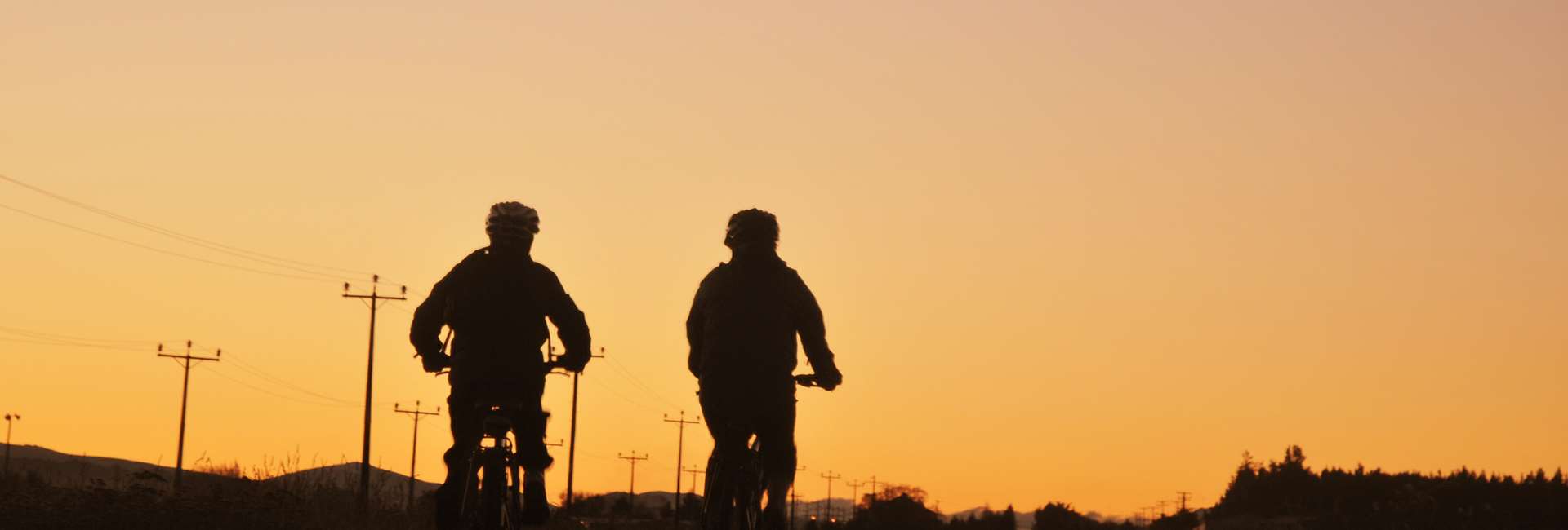
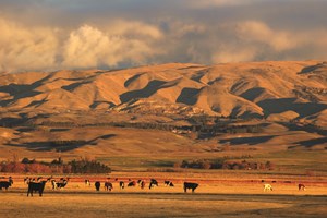
- The Ranfurly to Waipiata section of the trail is in the heart of the Maniototo Plain. The Plain's vastness and the “big sky” create an undeniable sense of serenity. “Mani-o-toto” is Maori for “Plains of Blood”. This could be because of bloody incidents of the distant past, the slaughter of the Moa or the red colour of the landscape at sunset and sunrise.
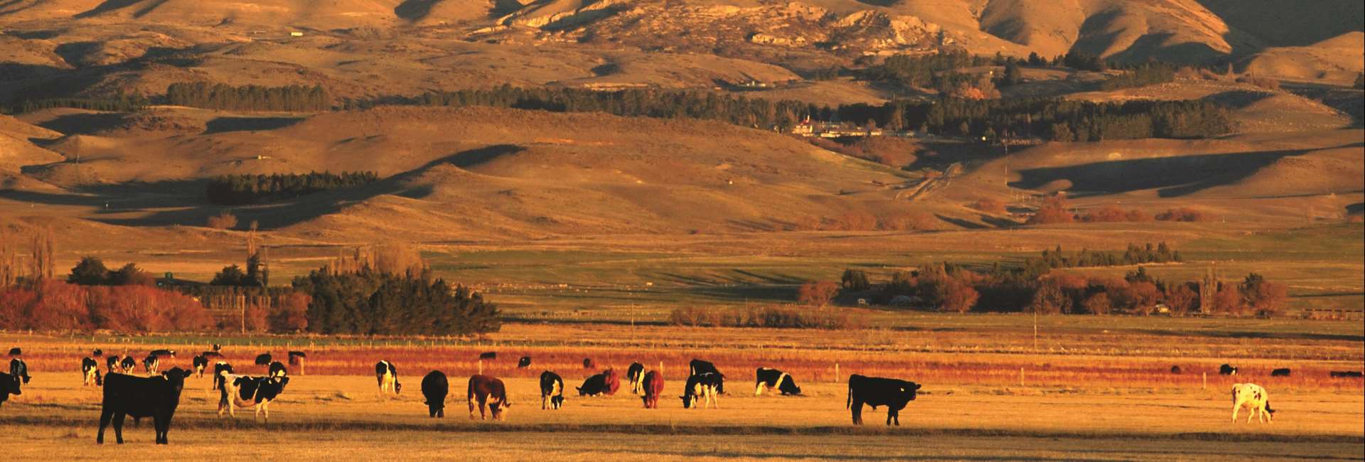
- Surrounding mountain ranges include the Rock and Pillar Range to the south, Rough Ridge to the west, Mt St Bathans to the nor-west, the Kakanui Mountains to the east and Mt Ida and the Mount Ida Range to the north. The contrast between the vastness of the plain, the mountains and the big Maniototo sky is spectacular.
- Find shade at the Ranfurly Straight Gangers’ Shed with information about the local area.
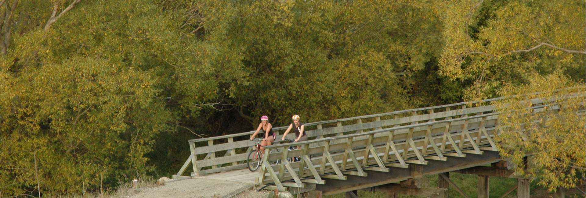
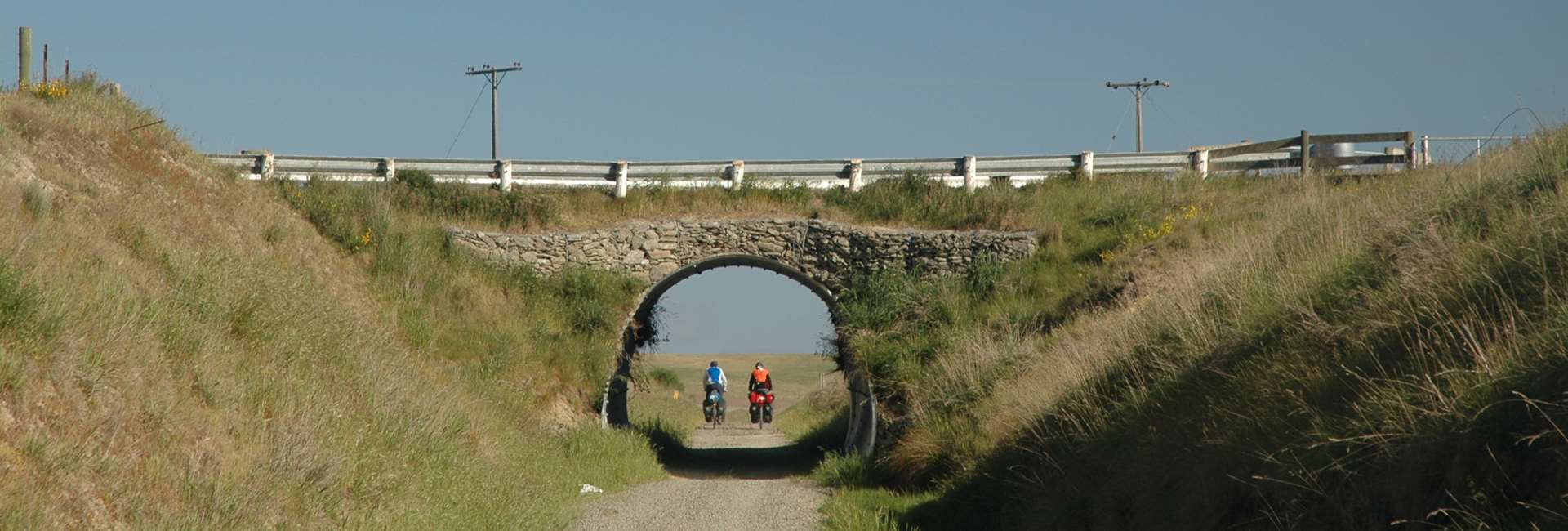
- An underpass tells you that you are almost at Waipiata, a small town with a surprising number of accommodation choices and things to see and do.
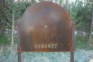
Solar System Model - Mercury
Solar System Model - Venus
Solar System Model - Earth
Solar System Model - Moon
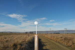
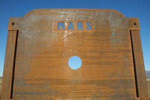
Solar System Model - Mars
Maniototo Plain & Surrounding Mountains
The Ranfurly to Waipiata section of the trail is in the heart of the Maniototo Plain. Mountain ranges include the Rock and Pillar Range to the south, Rough Ridge to the west, Mt St Bathans to the nor-west, the Kakanui Mountains to the east and Mt Ida and the Mount Ida range to the north.